You tap your Istanbulkart for 151.23 TL at the Kabataş or Kadıköy pier to catch the Şehir Hatları ferry to Kınalıada. From the clocktower dock, this route leads past 1950s modernist villas along Fazıl Ahmet Aykaç Caddesi, cuts inland to the stone bell tower of Surp Krikor Lusavoric, and climbs to Christos Monastery on Hristo Peak. The trail up uses loose gravel that slips under thin sneakers, so wear shoes with tread. The monastery gatekeeper often locks the grounds at 16:00, so tackle the summit before descending to the southern swim coves. Pack rubber water shoes to handle the sea urchins at the rocky Ayazma shore. Ferries thin out after 17:30, so check the dock departure board on arrival to plan your return.
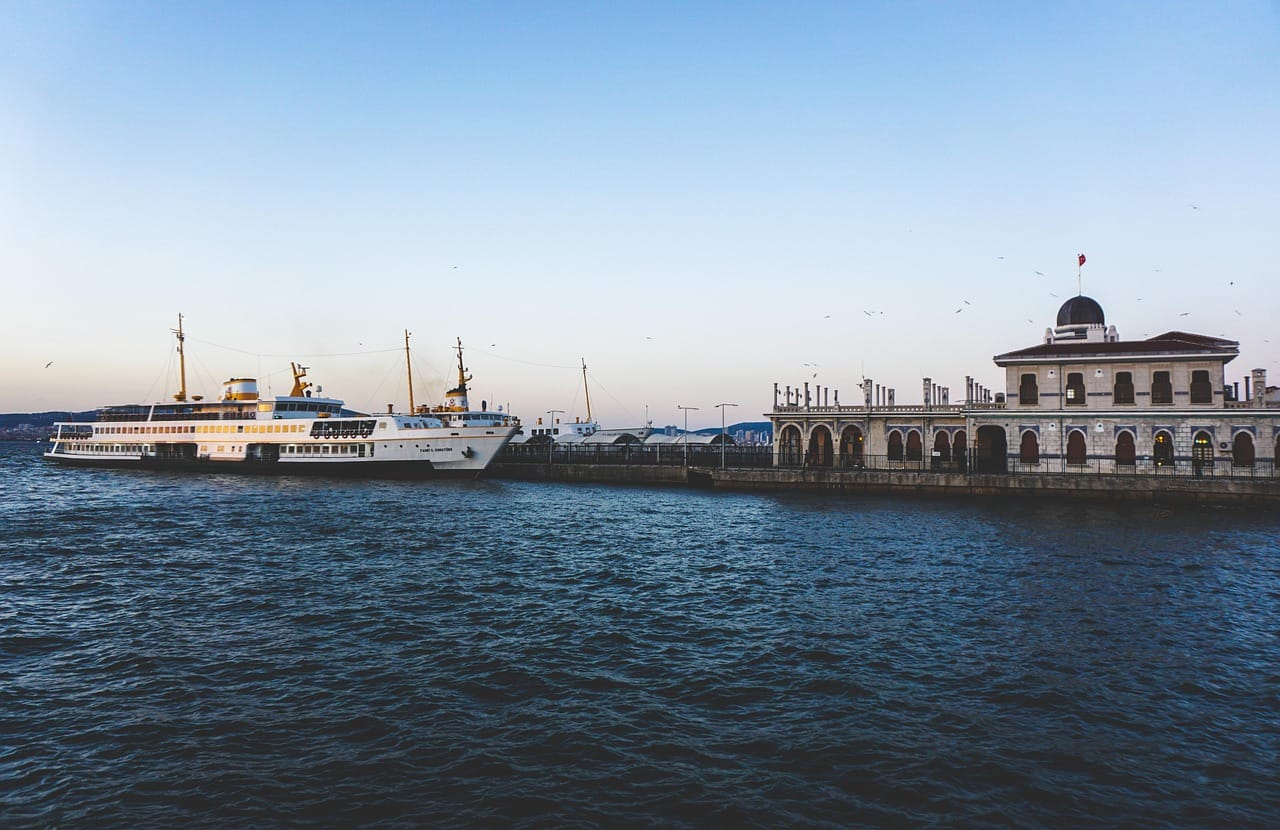
At 08:45 on a weekend morning at the Kabataş ferry terminal, most passengers tap their Istanbulkart for 151.23 TL (€3.02) and head for the open upper deck, settling in for the ninety-minute run south to Büyükada. When the boat ties up at Kınalıada fifty minutes later, only a small fraction steps onto the dock. The crowd remains on board, leaving the closest of the Princes’ Islands remarkably quiet while the larger islands south down the chain prepare for heavy foot traffic.
You will notice a distinct architectural character as soon as you clear the turnstiles. Kınalıada holds a concentrated record of mid-century summer homes built between the 1950s and 1970s, commissioned largely by Istanbul’s Armenian community. The roads climb directly into steep, rust-colored shale slopes that gave the island its name, lined with low-slung concrete villas and terraced gardens on the approach to the Christos Monastery atop Hristo Peak.
Completing the route up to the monastery and down through the western coves takes roughly three hours on foot. The grade along Fazıl Ahmet Aykaç Caddesi is steep, so standard walking shoes are necessary rather than beach sandals. Kınalıada has fewer trees than any other island in the archipelago, meaning the midday sun heats the paved roads quickly between June and September. Starting early gives you empty coastal switchbacks, open viewpoints over the Marmara Sea, and a direct look at twentieth-century residential architecture bypassed by standard tour groups.
Insider tip: Pick up two liters of water and a warm tahinli çörek from the bakeries along Çarşı Caddesi beside the pier before starting up the hill. Once you clear the residential grid and head onto the monastery ridge, there are no open water fountains or kiosks until you return to the shore.
Ferry departures, ticket logistics, and 2026 boarding routines
Kınalıada sits fourteen kilometers south of the Bosphorus entrance, making it the first stop on public ferry lines departing mainland Istanbul. Three main passenger terminals run regular services: Kabataş Pier on the European side, and Kadıköy and Bostancı on the Asian shore. From Kabataş Pier, municipal vessels operated by Şehir Hatları leave approximately every 60 to 90 minutes between 06:45 and 23:00, reaching Kınalıada in 50 to 55 minutes. Crossings from Kadıköy average 35 to 40 minutes, while departures from Bostancı take 25 to 30 minutes.
Personal Anecdote: On my visit last May, I joined the line at Kabataş Pier at 09:05 carrying an uncharged card. The queue at the yellow Biletmatik kiosk was fourteen people deep, and by the time I tapped through the gate at 09:14, the open upper deck was completely packed, forcing me to stand near the hot engine exhaust for the entire 50-minute crossing. Since that mistake, I always load 400 TL the evening before and clear the turnstiles thirty minutes before departure.
Transit fares require an Istanbulkart, which you can purchase and reload at station vending machines. For this leg of your Princes Islands day trip, Şehir Hatları charges a public rate of 151.23 TL (3.02 EUR) per adult each way. Private motor services run by Mavi Marmara operate parallel schedules from Kabataş and Bostancı at 151.23 TL (3.02 EUR) per adult each way, accepting either transport cards or contactless bank cards at the gate. If you decide to visit multiple islands in a single outing, review our Büyükada Walking Route to the Greek Orphanage and Aya Yorgi with 2026 Ferry Tips for connection logistics between the inner and outer ports.
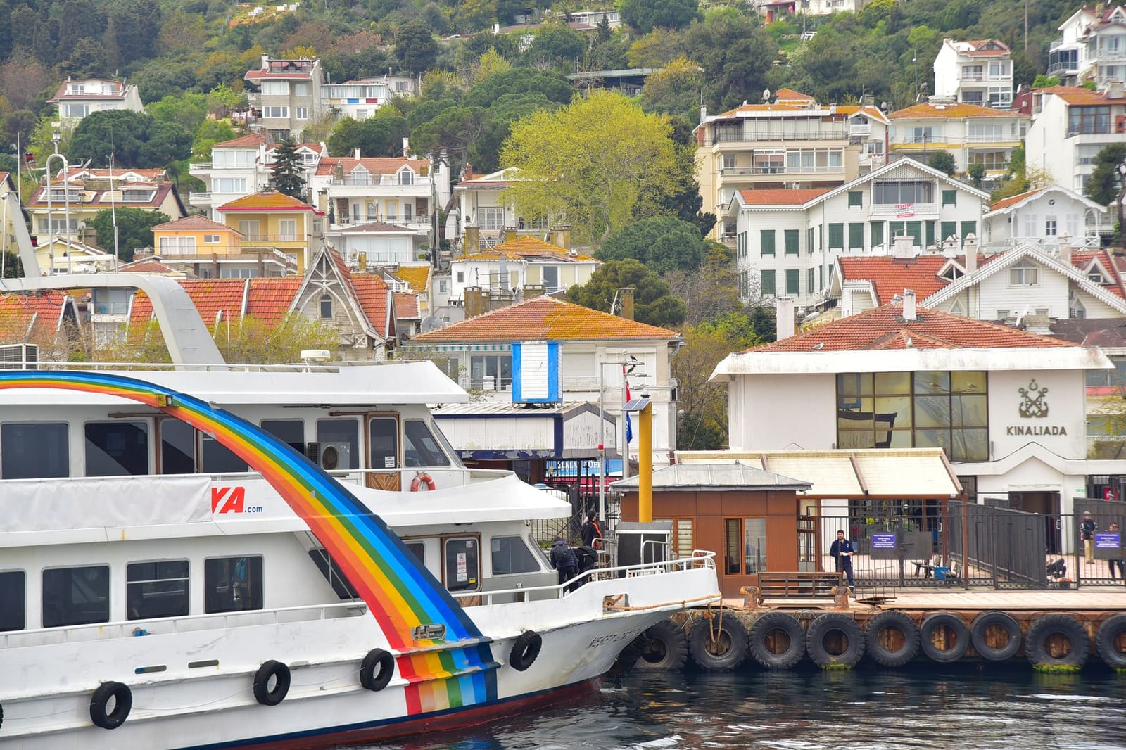
To ensure boarding goes smoothly under current Kınalıada ferry transit regulations, complete these steps:
- Load your Istanbulkart at the yellow Biletmatik terminals with at least 302.46 TL (6.05 EUR) to cover both inbound and outbound legs.
- Check the overhead departure screens at the terminal entrance to verify whether your gate serves Şehir Hatları or Mavi Marmara.
- Tap through the gate turnstile to deduct either the 151.23 TL (3.02 EUR) municipal fare or the 151.23 TL (3.02 EUR) private operator fee.
- Walk directly to the open upper deck to find seating on the port side before indoor cabins fill.
- Exit promptly down the stairwell when the horn sounds on approach, as the boat docks at Kınalıada for three minutes before proceeding to Burgazada.
Arrival at the clocktower and the modern waterfront
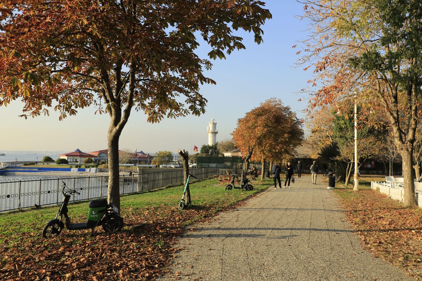
Disembarking at Kınalıada Pier, you step directly onto Clocktower Square, where the paved shoreline borders the Sea of Marmara. The municipal boat landing sits beside a freestanding 1920s clocktower that marks the central arrival point. While larger neighbors like Büyükada and Heybeliada cover expansive terrain that regularly forces visitors to queue for municipal electric transit buses, Kınalıada spans an area of just 1.3 square kilometers. This compact footprint eliminates any need for motorized or electric transit. Any standard Kınalıada walking route across the residential zones can be managed entirely on foot, provided you are prepared for the steady initial incline.
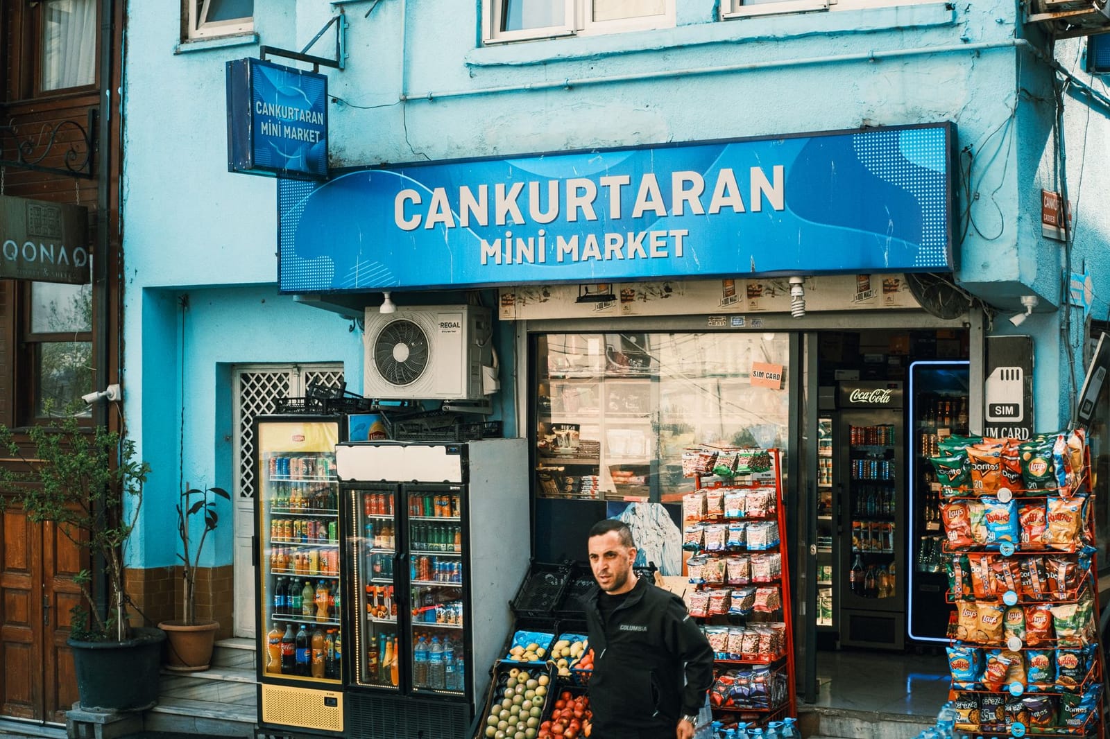
Most day visitors arrive without realizing that commercial services are concentrated almost exclusively along this narrow seafront rim. Once you head east into the residential grid, grocery stores and cafes drop off completely.
Micro-Anecdote: Stepping off the boat onto Clocktower Square at 10:00 on a Tuesday last September, the contrast with the mainland was immediate: only four other passengers disembarked alongside me, while the rest stayed aboard for Heybeliada. I grabbed a warm sesame simit for 20 TL (€0.40) and a 25 TL (€0.50) black tea from Kınalı Büfe right at the dock, watching the ferry churn south into open water before tackling the uphill street.
To begin the route eastward toward the higher ridges, turn right from the dock platform past the shoreline grocers. You will find municipal restrooms inside the ferry terminal building, and the final cluster of automated bank teller machines stands twenty meters north of the clocktower base.
Mid-century modernist summer homes along the residential avenues
Walking two blocks inland from the ferry terminal brings you into Istanbul’s densest concentration of mid-century residential architecture. While Büyükada and Heybeliada preserve Ottoman-era timber mansions, Kınalıada developed rapidly in the 1950s and 1960s as a retreat for Istanbul’s middle and upper-middle classes, particularly Armenian and Greek families. Leading figures of Turkish modernism adapted International Style principles to the island’s steep slopes. They designed reinforced concrete yazlık (summer residence) villas that replaced decorative historicism with functional geometry, pilotis, and wide horizontal openings configured to draw cooling breezes off the Sea of Marmara.
On this segment of the Kınalıada walking route, the primary architectural examples line Alsancak Caddesi and Akasya Sokak. The structures on these streets sit on natural stone socles built from local island schist and granite, anchoring cantilevered balconies and concrete slab projections above garden enclosures. Horizontal ribbon glazing and integrated brise-soleil sunscreens control harsh southern exposure, shielding interior living rooms without blocking air circulation.
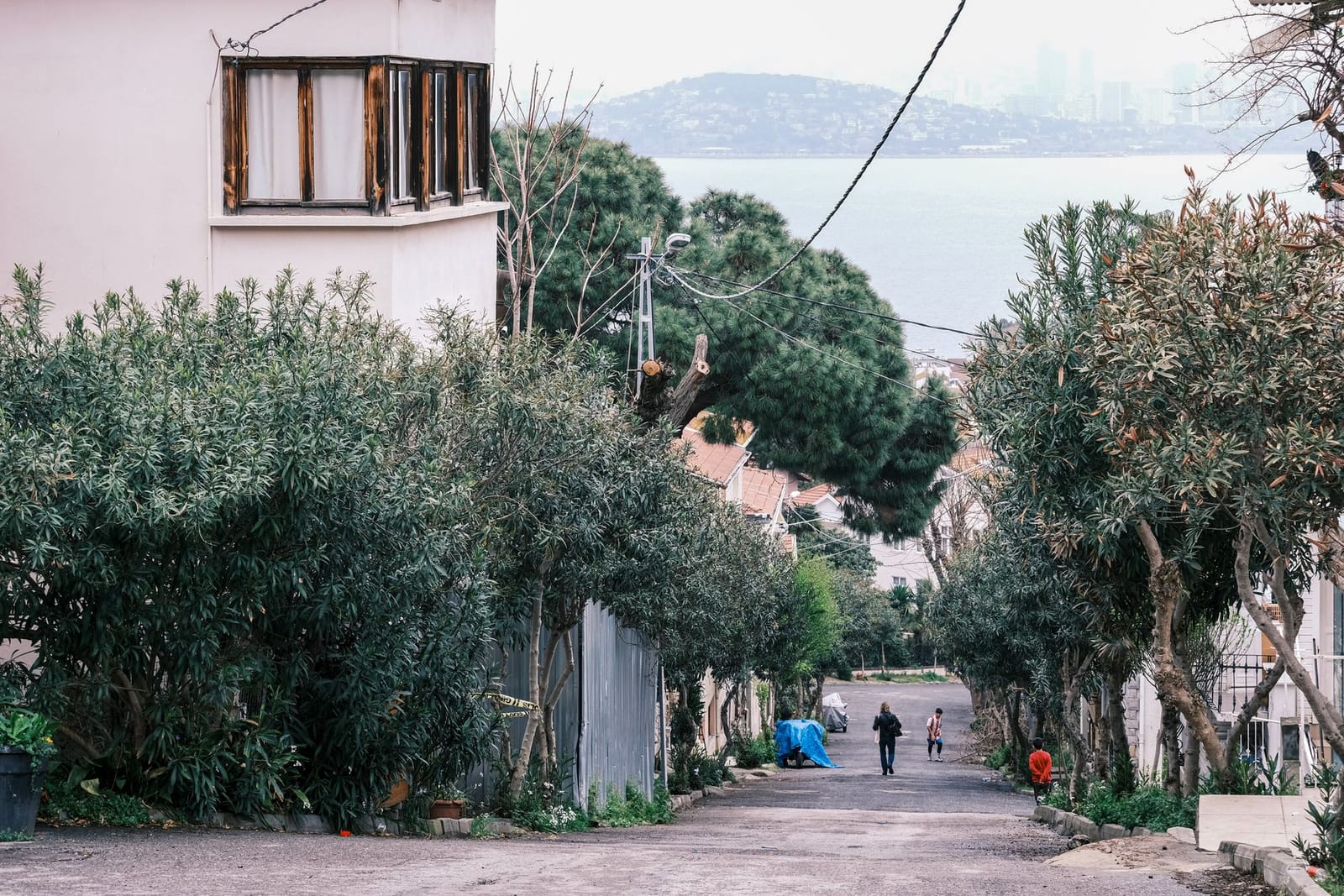
The 1962 Sirakuyan summer residence on Akasya Sokak provides a direct case study in how these structures weather island conditions. Standing by the boundary gate, you can examine deep overhanging eaves that throw shade across the entire upper facade during peak afternoon heat. The external brise-soleil louvers remain structurally sound, although the salty maritime air has exposed areas of aggregate and produced faint iron stains along unsealed concrete edges. When you step beneath the shadow cast by its cantilevered roofline at noon, the ambient temperature drops noticeably compared to the unshaded road surface.
Insider tip: Buy a cold bottle of sour cherry soda (Uludağ gazoz) and an extra liter of drinking water before you leave the pier market. Once you start climbing past the church toward Christos Monastery, there are no kiosks or drinking fountains until you descend back to the southern beaches.
Allow roughly forty minutes to examine the street elevations between Alsancak Caddesi and the intersecting residential lanes. Because these houses remain occupied private homes, stay on the municipal roadway and keep camera lenses pointed above eye level to respect garden privacy. The road climbs steadily uphill from here, and the paved asphalt ends where the dirt trail heads toward the monastery ridge.
Surp Krikor Lusavoric and the island Armenian heritage
Kınalıada has served as the summer retreat of Istanbul’s Armenian community since the mid-nineteenth century, an arrangement centered on Surp Krikor Lusavoric Kınalıada. Founded in 1857 under the authority of the Patriarchate of Constantinople, it remains the only Armenian Apostolic Church on the Princes’ Islands. Masonry foundations dating to 1857 anchor the building, but structural updates in the 1960s introduced reinforced concrete framing that gave the exterior a modest, modernist profile. Unlike the historic religious heritage explored in our Fener & Balat Walking Tour: Istanbul, this structure reflects the specific demands of a seasonal island parish built to withstand winter maritime exposure and hold summer congregations.
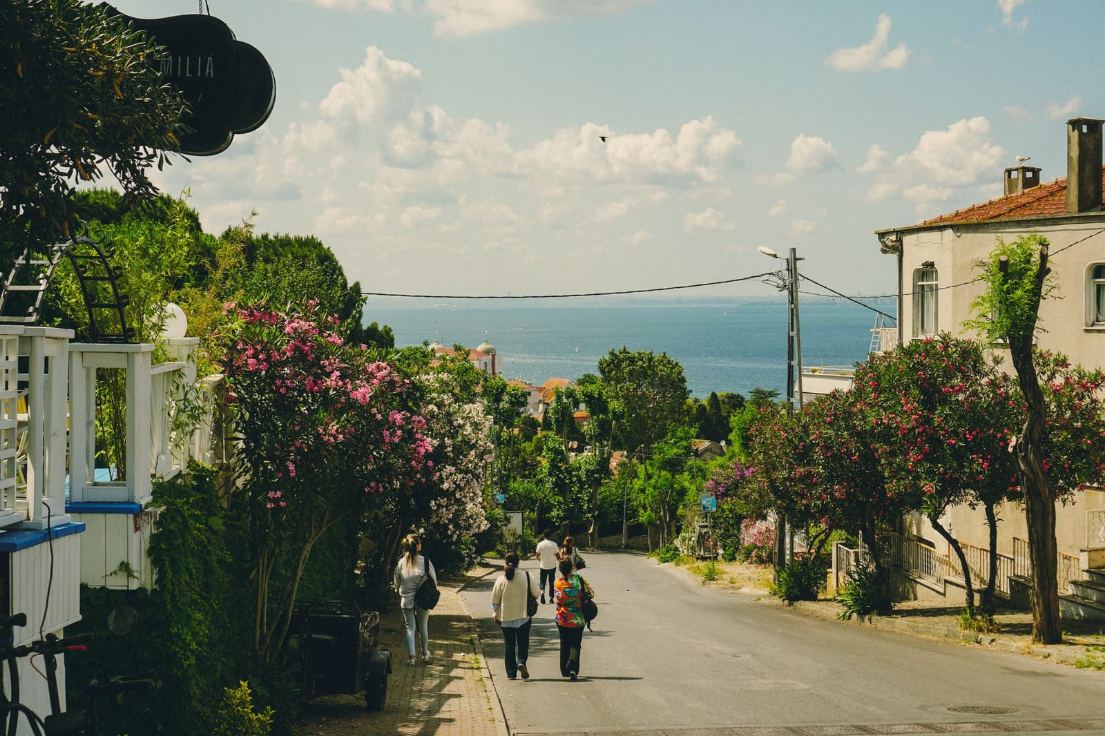
The interior presents a clear contrast to the modern concrete outside. Carved marble altars stand beneath heavy brass oil lamps suspended on iron chains, illuminating gold-leaf detailing along the liturgical sanctuary. Wall tablets carved in the Armenian alphabet commemorate nineteenth-century patrons and community donors from Istanbul who funded the parish furnishings.
Insider tip: If the heavy street door is locked, ring the courtyard entry bell around 10:30. The caretaker will typically come down the flagstone path, unlock the gate, and lead you into the cool narthex without charge while reminding you to keep your voice down.
Beyond the narthex, you will find religious paintings executed in 1859 by the painter Ananias of Hasköy. The church courtyard contains the parish garden and a freestanding bell tower holding a bronze bell cast in 1872 under Patriarch Kevork IV.
Climbing to the Christos Monastery on Hristo Peak
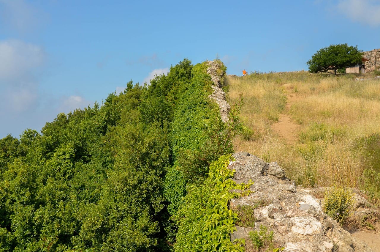
The grade steepens immediately once the paved residential lanes of Kınalıada give way to unpaved dirt at the island’s southern perimeter. Unlike Büyükada or Heybeliada, Kınalıada has almost no canopy of umbrella pines to shield you from direct sunlight. The trail cuts through low garrigue macchia and exposed reddish shale that gave the island its name, climbing steadily toward the 93-meter summit of Hristo Peak. Under foot, the loose gravel and brittle stone require stable footwear with decent tread; sneakers with flat soles will slip on the downhill sections.
Micro-Anecdote: During my hike up Hristo Peak at 13:15 on a hot July afternoon, I made the mistake of wearing smooth-soled city sneakers. On the loose red shale switchbacks along the final 200-meter climb, I slipped twice on the dry scree and tore the fabric on my daypack. I learned that day to hike this path before 10:00 wearing footwear with aggressive tread, carrying two 1.5-liter water bottles bought for 25 TL each at the pier.
The climb takes between 25 and 35 minutes at a steady pace from the port. Midday ascents between June and September are punishing because the heat radiates directly off the dry stone surfaces. If you hike during these hours, carry a full one-liter water bottle from the port grocers, as there are no functioning public fountains or kiosks along the trail once you pass the residential perimeter.
You can break the ascent into five clear trail segments:
- Follow Çarşı Caddesi west from the ferry pier before turning uphill onto Akasya Caddesi.
- Turn south onto Manastır Sokağı, where tarmac ends and the gravel path begins.
- Navigate the exposed switchbacks across the bare shale slope above the southern cliffs.
- Pass the wind-sculpted dwarf pines that signal the final 50-meter approach to the crest.
- Reach the stone perimeter wall of the monastery courtyard at the high point of the ridge.
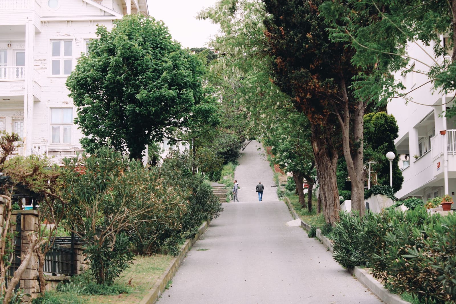
At the top stands the Monastery of the Transfiguration, known locally as Christos Monastery. Byzantine emperors used this isolated peak as a place of political exile. Its most famous prisoner was Romanos IV Diogenes, who was blinded and banished here following his defeat against Alp Arslan at the Battle of Manzikert in 1071. He died of his infected wounds in this compound in 1072. The current buildings do not date back to antiquity; earthquakes leveled the original monastic structures, and the existing church and two-story residential wings date to an eighteenth-century rebuild.
Insider tip: When the monastery iron gate appears locked during weekday afternoons, check the wooden post box to the right. The keeper often hangs a small ring latch that allows you to unhook the side wicket if you latch it shut behind you.
The church interior maintains a quiet, operational state under the Ecumenical Patriarchate of Constantinople. Inside, you will find an iconostasis carved from dark wood, silver votive plaques hanging before the sanctuary doors, and small brass trays holding thin beeswax tapers. A standard candle donation of 20 TL is placed in the metal slot beside the entrance. Outside the chapel wall, the ground drops away into views across the Sea of Marmara toward the southwest coast of Istanbul.
Rocky swim bays and southern shore coves
Rounding the southern flank of Kınalıada takes you immediately out of the residential grid and exposes you to open Marmara Sea swells. The waterline shifts from built concrete embankments to raw stone, bringing cooler water and far better visibility than the silted shallows beside the ferry terminal. Among the options for Kınalıada beaches Istanbul day-trippers can reach, this southern curve contains the most reliable swimming areas, centered on Ayazma Beach and Teos Beach.
Private operators along these pebble beaches charge between 450 TL to 600 TL (9 EUR to 12 EUR) for a pair of sun loungers and an umbrella. That fee covers cold-water showers, changing stalls, and access to timber sun decks raised above the stones. Right beside these commercial properties, unserviced public pebble sections remain free of charge. Setting up on the free sections requires bringing your own shade and a thick foam mat, because the shoreline consists of uneven, fist-sized pebbles rather than soft sand.
Insider tip: I never step into the water around the Ayazma headland without hard-soled neoprene water shoes. Black sea urchins wedge themselves by the hundreds into the underwater granite crevices, and a single misplaced step will lodge brittle spines into your heel.
Water clarity reaches its peak before midday, before thermal winds agitate the surface. When swimming from the unmanaged rocky coves, entry involves climbing over submerged boulders coated in slick green algae. Footwear with solid rubber traction prevents slipping on the shelves and protects against the urchins.
| Swimming Spot | Shore Surface | Entry Cost | Water Condition |
|---|---|---|---|
| Ayazma Beach (Public) | Coarse grey pebbles | Free | Clear, gradual drop-off |
| Ayazma Beach (Commercial) | Timber platform and pebbles | 450 TL to 550 TL (9 EUR to 11 EUR) | Clear, calm morning shallows |
| Teos Beach | Wooden sundeck over rock | 500 TL to 600 TL (10 EUR to 12 EUR) | Moderate chop, ladder entry |
| Southern Headland Coves | Exposed granite boulders | Free | Maximum clarity, urchin hazard |
South-facing winds strengthen past 14:00, creating an onshore chop against the rocks that makes swimming tiring. If conditions roughen during the afternoon, the walk back to the sheltered eastern ferry harbor takes twenty minutes along the flat seaside road.
Practical route summary and return planning
The complete Kınalıada walking circuit covers 4.8 kilometers with 110 meters of total elevation gain, requiring a comfortable duration of 2.5 to 3 hours if you do not stop to swim. The route follows paved residential roads before climbing south toward the ridge, descending past the monastery back toward the harbor. While the distance is modest, the lack of tree shade along the northern ridgeline means midday heat slows your pace between June and September.
Your return trip requires watching the Marmara lodos wind. This strong southwesterly breeze frequently picks up in the late afternoon, creating choppy surface conditions that lead private motorboat cooperatives running to Bostancı to cancel departures after 17:00. When smaller craft suspend operations, queues at the pier surge. The large passenger vessels operated by Şehir Hatları handle this chop without issue and remain your most reliable option back to the mainland. Once back at Kabataş or Karaköy, many travelers conclude their day by tasting traditional sweets as detailed in our walk through Handcrafted Baklava and Pistachio Desserts in Karaköy and Eminönü with 2026 Prices and Ordering Etiquette.
Insider tip: I always aim to arrive back at the harbor twenty minutes before the 18:20 Şehir Hatları departure to Kabataş. This gap gives you just enough time to duck into Kınalı Fırını, located fifty meters up from the waterfront, to buy warm tahinli çörek for 60 TL (1.20 EUR) straight from the afternoon oven batch before boarding.
A standard adult fare on the public ferry costs 151.23 TL (3.02 EUR) using an Istanbulkart, while a single-use paper ticket from the pier turnstiles costs 171.89 TL (3.44 EUR).
Frequently asked questions about Kınalıada
How long does the complete walking route take?
The 4.8-kilometer loop takes between 2.5 and 3 hours at an unhurried walking pace. The track includes 110 meters of elevation change as you ascend from the ferry terminal toward Christos Hill. If you decide to tour the monastery grounds or stop at one of the rocky swimming coves on the western shore, allow an additional two hours to avoid rushing for your return boat.
What should you do if afternoon ferry services are delayed?
Afternoon lodos wind can suspend small private motorboat services to Bostancı after 17:00, but public Şehir Hatları ferries rarely stop running. If wind disrupts private boats, head directly to the historic municipal pier turnstiles. Public ferries run hourly into the evening, providing steady crossings to Bostancı, Kadıköy, and Kabataş even in rougher water.
How much does the ferry ticket to Kınalıada cost in 2026?
A standard one-way adult fare on public Şehir Hatları ferries is 151.23 TL (3.02 EUR) charged through an Istanbulkart. If you do not own a transport card, you can purchase an electronic single-passage ticket at the pier turnstile for 171.89 TL (3.44 EUR). Credit cards with contactless payment are accepted at select digital turnstiles at a slightly higher single-fare rate.
Final recommendations for the Kınalıada route
Unlike Büyükada or Heybeliada, Kınalıada has no dense pine forest canopy. Its open slopes expose both the mid-century concrete houses and the bare shale ridgeline to the Sea of Marmara. The island empties quickly when summer ends, leaving quiet residential streets, red soil paths, and wide coastal views.
Insider tip: Skip the steep descent down the southwest slope toward Ayazma Beach; the scree path is unstable and ends at fenced beach clubs charging steep entry fees for crowded plastic decks. Instead, stay strictly on the upper crest past Christos Monastery. When the deep ferry horn echoes up from the pier at 16:55, start your walk down through Çarşı Caddesi to catch the 17:20 Şehir Hatları vessel to Kabataş, which costs 151.23 TL (3.02 EUR) with an Istanbulkart.