You exit the Kumkapı Marmaray station at 8:30 AM, bypassing the restaurant touts on Çapari Sokak who add 150 TL cover charges to morning bills. Walk inland toward the Surp Asdvadzadzin Patriarchal Church. The courtyard gate stays locked, but if you press the brass buzzer on the left, the sexton lets you in for free before 16:00. The route then follows Kadırga Limanı Caddesi along the brick foundations of the Byzantine sea walls. I once tried crossing directly onto Kennedy Caddesi and got stranded between four lanes of traffic; take the pedestrian underpass by the old pier instead. Past Küçük Ayasofya, where courtyard tea costs 30 TL, you face a 400-meter cobblestone climb into the quiet squares of Cankurtaran. The full walk runs 4.2 kilometers and ends at Cankurtaran station.
At 08:15 on a Tuesday morning, the stone perimeter of the Blue Mosque is already crowded with tour groups waiting for the outer courtyards to open. Walk two hundred meters down the south slope behind the Sultanahmet tram stop, cross under the railway tracks toward the Marmara shore, and the tour buses disappear. Most travelers stay boxed within the Hippodrome and the Grand Bazaar, unaware that a five-minute descent south brings you straight into fifth-century sea bastions, quiet Armenian parish houses, and neighborhood fishmongers.
This walking route connects Cankurtaran and Kumkapı, following the maritime curve of the historic peninsula. In Cankurtaran, Ottoman wooden row houses lean against limestone blocks cut during the reign of Theodosius II. Further west, the alleys lead into Kumkapı, the long-standing center of Istanbul’s Armenian community, anchored by the Surp Asdvadzadzin Patriarchal Church and the fish market along the shoreline. Walking these old city Istanbul backstreets requires zero admission tickets, though you should allow at least two hours to navigate the irregular cobblestones, steep staircases, and dead ends at a steady pace.
Insider tip: The Sirkeci-Kazlıçeşme rail line stops directly at both Cankurtaran and Kumkapı, costing 46.20 TL (0.92 EUR) on a standard Istanbulkart. If your knees protest the steep uphill climb back to Sultanahmet, avoid the metered yellow taxis waiting along Kennedy Caddesi; drivers routinely refuse short uphill hops. Walk to Kumkapı station instead and ride the train two stops back to Sirkeci.
Along the Byzantine sea walls, fifth-century masonry remains part of everyday neighborhood infrastructure. Laundry lines tie into ancient mortar joints, and stray cats sleep on the marble corbels of ruined imperial sea gates like Çatladıkapı. Traffic noise from the coastal highway bleeds into the lower sections, but turning into the residential grid immediately restores the quiet rhythm of an older Istanbul.
Starting at Kumkapı and navigating the historic fish market
The underground platforms at Yenikapı Transfer Point put you within a five-minute walk of the Kumkapı quarter. Exit the concourse toward Mustafa Kemal Paşa Caddesi, head east beneath the railway viaduct, and follow the slope toward the Marmara shoreline. Riding the metro or Marmaray into Yenikapı costs 46.20 TL (0.92 EUR) on a standard anonymous Istanbulkart. As you cross under the tracks toward the coastal road, the concrete transit terminal gives way to the low-rise masonry fabric of Kumkapı, historically the center of Istanbul’s Armenian and Greek maritime communities.
Most visitors arrive here after dark when the squares fill with tourist-heavy meyhane patios and persistent hawkers, but the neighborhood functions best between 07:30 and 10:00. This is the window when overnight hauls arrive at the wholesale counters and neighborhood retail slabs of the Kumkapı Balık Pazarı. Head straight into Çapari Sokak, where fishmongers hose down wet marble counters, unload wooden crates of turbot and horse mackerel, and negotiate directly with local cooks. If you plan to combine this walking itinerary with boat travel, review Istanbul ferry pier navigation with 2026 ticket prices and route differences to align your morning rail transfer with southern dock departure times.
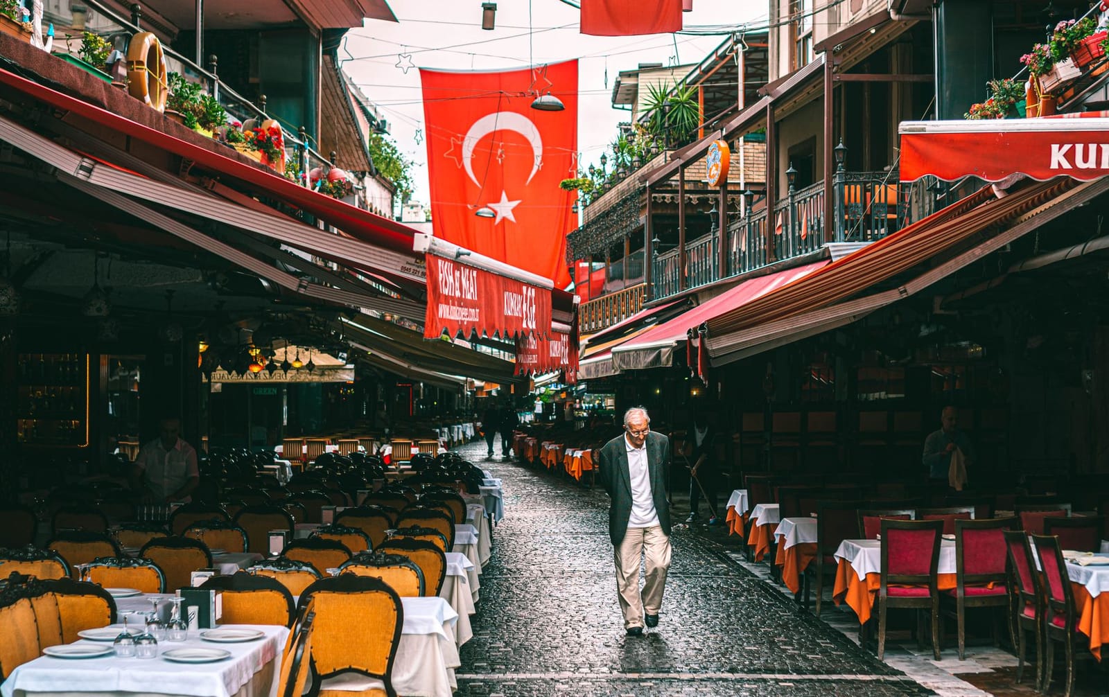
During my morning walk through the market at 07:45, I made the mistake of cutting straight across the wet paving on Çapari Sokak wearing flat-soled leather sneakers. A fishmonger hosed down a marble slab, sending a wave of iced meltwater across the basalt, and my footing slipped instantly into an empty wooden crate of red mullet. Since that spill, I always stick to the raised center ridge of the lane and wear shoes with deep rubber siping.
Walking these old city Istanbul backstreets during the morning spares you the evening restaurant touts who block the passages around Kumkapı Meydanı. Visiting before midday reveals regular neighborhood commerce: wood-fired bakeries loading sesame rings onto wooden carts, tea houses running metal trays across cobblestones, and neighborhood residents shopping for midday meals. When you walk along Çapari Sokak, remain in the center of the lane to avoid the open drainage runnels along the shopfronts where melting crate ice flows toward the street grates. If you return in the late evening for dinner and linger past normal transit hours, check Crossing the Bosphorus after midnight with 2026 night transport tips to plan your late connection back across the strait.
Berk’s Insider Tip: Avoid the tourist-menu fish restaurants clustering around Kumkapı Meydanı itself. Instead, walk two blocks northwest to Boris’in Yeri on Ördekli Bakkal Sokak for clotted buffalo cream (kaymak) and honey served with crusty bread for around 150 TL (3 EUR).
The fishmongers on Çapari Sokak pack down their unsold catch in crushed ice by 13:00, after which wholesale deliveries depart for inland restaurants and the market closes its retail trade for the day.
Armenian heritage along the stone corridors of Surp Asdvadzadzin
The seat of the Armenian Patriarchate of Constantinople stands behind high limestone walls on Şarapnel Sokak, just uphill from the coastal rail tracks in Kumkapı. Directly opposite the patriarchate’s administrative offices sits Surp Asdvadzadzin Cathedral, the Holy Mother of God Patriarchal Church, which has anchored the spiritual life of Istanbul’s Armenian Apostolic community since 1641. The present stone structure, rebuilt in 1828 after repeated district fires, forms an ecclesiastical complex alongside the adjacent Surp Vortvots Vorodman Church and the Bezciyan School.
Entering the grounds requires planning around regular security protocols. Because the site is an active patriarchal headquarters, perimeter security gates remain closed to casual drop-in tourism during weekdays. The main perimeter gates open for morning services on weekends, primarily for the Sunday divine liturgy starting at 10:00. Church security personnel staff the entrance and conduct a polite passport check along with a standard bag inspection before admitting visitors into the stone courtyard. Modest clothing covering shoulders and knees is mandatory inside the sanctuary.
Insider tip: On Sunday mornings, arrive at the iron gate on Şarapnel Sokak around 09:45 with your passport ready in hand. When the service finishes, the courtyard clears out rapidly as parishioners head out for tea, giving you five quiet minutes to inspect the carved stone funerary slabs and marble crosses mounted into the perimeter masonry.
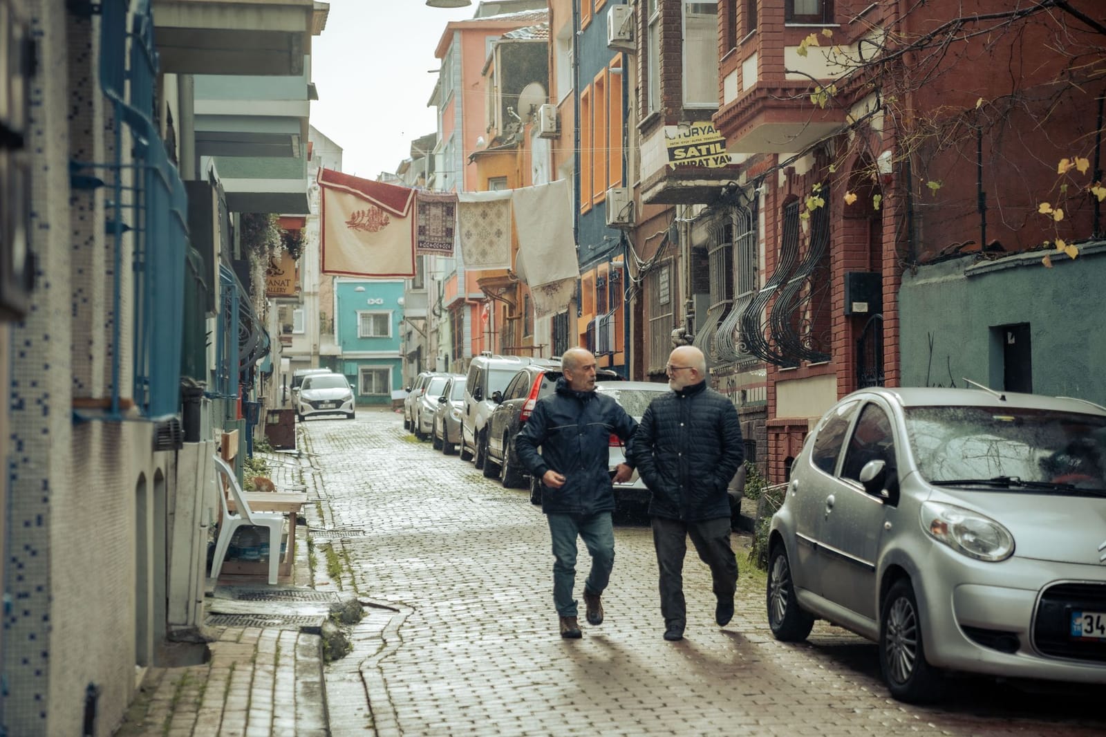
Outside the church gates, you step directly into the old city Istanbul backstreets. Heading northeast toward Kadırga Limanı Caddesi, walk the quiet residential grid between Sevgi Sokak and Ördekli Bakkal Sokak. This pocket retains late-Ottoman domestic architecture rarely seen along tourist corridors, specifically wooden framing houses with cantilevered bay windows built over cut-limestone ground levels. Many exterior walls show exposed lath-and-plaster timber work weathered by salty air, alongside street corner fountains set below modern street grade. Navigation through this section requires sturdy footwear, as these cobblestones are uneven and narrow enough that hand-pulled market carts require the center of the lane.
How to follow the Byzantine sea wall fortifications from Kadırga to Ahırkapı
The overland route connecting Kadırga Meydanı to the Ahırkapı promontory covers 1.8 kilometers along the base of the Sea Walls of Constantinople. This southern defensive sector once shielded the capital from maritime assaults originating in the Sea of Marmara, extending past the silted basin of the ancient Harbor of Eleutherios (later known as the Port of Theodosius).
Exiting the residential center requires walking down Kadırga Limanı Caddesi, where 19th-century timber townhouses gradually give way to the deep trench of the Sirkeci–Halkalı railway line. Most visitors turn back toward Sultanahmet when the street hits the railway embankment, but crossing via the pedestrian overpass brings you directly into the fortification zone.
- Descend south from Kadırga Meydanı along Kadırga Limanı Caddesi until the street meets the Marmara railway line cutting.
- Cross the railway overpass onto Aksakal Sokağı to access the inner curtain wall of the fourth- and fifth-century fortifications.
- Track the masonry eastward along the green belt behind Küçük Ayasofya, checking the stone courses for alternating Roman brick banding and repurposed architectural fragments.
- Descend into the signed Kennedy Caddesi pedestrian underpass behind the Küçük Ayasofya gardens to cross under the six-lane coastal highway safely.
- Follow the seaside footpath east past the protruding polygonal maritime bastions toward the Ahırkapı lighthouse.
I remember encountering firsthand how tricky the coastal crossing can be when I reached the Küçük Ayasofya underpass at 08:35 on a damp Tuesday morning. A localized squall had backed up the street drains, leaving three inches of brackish water pooled at the bottom of the concrete ramp, and a cluster of six commuters stood stalled on the steps. Instead of attempting a dangerous detour over Kennedy Caddesi through 75 km/h morning traffic, I doubled back fifty meters along Aksakal Sokağı to cross the elevated railway footbridge, keeping my shoes dry and avoiding the flooded passage entirely.
The masonry along this section shows distinct phases of rapid Byzantine repair work. Fifth-century Theodosian limestone blocks form the wall foundation, interspersed with rows of thin, red Roman brick that redistributed seismic shock during Marmara earthquakes. Higher sections reveal marble spolia: inverted Roman pillar bases, fluted column drums, and late-antique grave steles shoved horizontally into the mortar during emergency rebuilds following Arab and Crusader sieges. The structural ingenuity of Istanbul’s historic stone monuments spans every era, from these fifth-century maritime bastions to Ottoman masterworks like A Masterpiece of Light: Why the Mihrimah Sultan Mosque is My Favorite Spot at the City.
Berk’s Insider Tip: If you want to view the seawalls up close without vehicle exhaust from Kennedy Caddesi, take the pedestrian underpass behind Küçük Ayasofya around 08:30. The light hits the fifth-century marble friezes from the east, and the park path running parallel to the tracks is empty.
Navigating the highway barrier requires using the concrete Kennedy Caddesi underpasses rather than attempting to cross the surface road, where vehicle speeds exceed 70 km/h. The underpasses provide level access to the seaside bastions. The stone seawall footing directly meets the modern shoreline riprap near Ahırkapı, ending where the coastal promenade curves past the surviving brick vaulting of the Bukoleon Palace water gate.
Ascending from Küçük Ayasofya to the quiet squares of Cankurtaran
Küçük Ayasofya Mosque stands fifty meters inland from the railway embankment, retaining the irregular octagonal plan it received when constructed between 527 and 536 CE as the Church of Saints Sergius and Bacchus. Because it is an active neighborhood mosque, entry is free. Inside, an unbroken Greek hexameter inscription honors Emperor Justinian and Empress Theodora along the carved marble frieze of the lower gallery. The former Ottoman medrese that surrounds the garden courtyard contains craft workshops where calligraphers and bookbinders work in the old student cells.
Insider tip: I always visit the cloister courtyard around mid-morning between prayer calls. The teahouse under the plane trees charges 25 TL (0.50 EUR) for a glass of çay, giving you time to study the brickwork without dodging tour groups.
Leaving the courtyard, you turn inland and climb Akbıyık Değirmeni Sokak. This narrow cobblestone lane retains multi-story Ottoman timber houses with cantilevered upper floors. Several facades preserve original hand-carved eaves, while others sit braced by steel struts pending restoration. The stone surface on this gradient becomes slick from morning dew off the Sea of Marmara; choose footwear with deep rubber tread rather than flat leather soles.
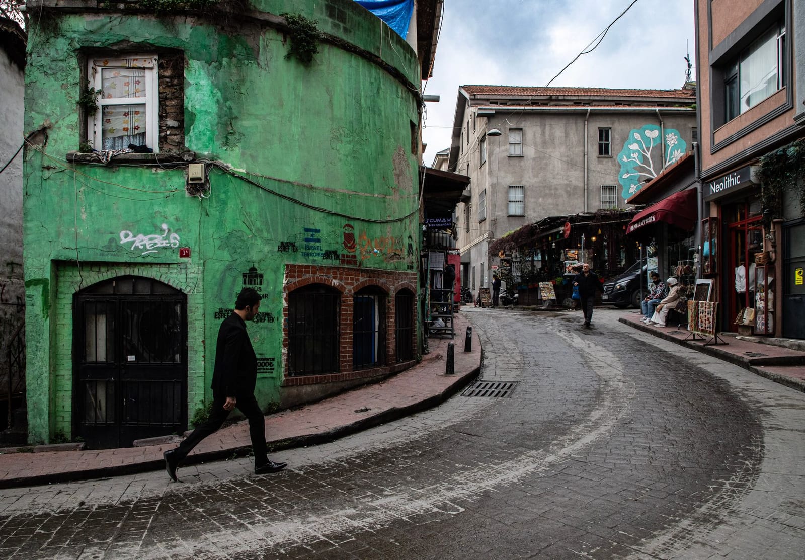
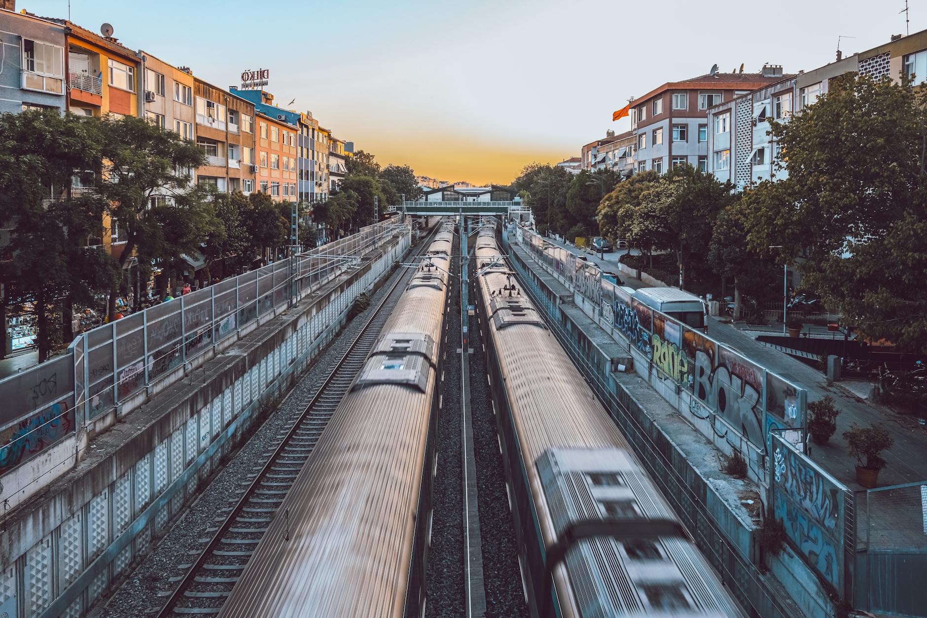
At the crest, the street levels off into the lower residential quarters of Cankurtaran. Here, nineteenth-century timber framing gives way to masonry terraces originally built for Ottoman railway employees after the Rumeli line severed the shoreline in the 1870s. Many travelers look for Marmaray Cankurtaran on their transit maps, but the tracks here carry the reopened T6 coastal rail service rather than the deep-tunnel commuter trains. Boarding at Cankurtaran station costs the standard Istanbulkart fare of 46.20 TL (0.92 EUR) and connects you to the Marmaray network two stops west at Yenikapı or one stop north at Sirkeci. Two hundred meters southeast along the old seawall line, the 26-meter masonry column of Ahırkapı Lighthouse marks the entrance to the Bosphorus strait.
Logistics, terrain details, and stage distances for the southern circuit
The complete southern circuit covers 3.8 kilometers between the alleyways of Kumkapı and the coastal fortifications flanking Cankurtaran, requiring roughly two hours of steady walking. The terrain alternates between uneven basalt setts in the residential quarters, compacted gravel near the gardens, and wide concrete pavement alongside the seawall promenade. Elevation changes stay under 25 meters, though short, steep alleys connecting the shoreline to the upper neighborhood require stable footing. Stiff-soled walking shoes with adequate grip prevent slipping on the smoothed stone flags, particularly in Kumkapı where local fishmongers wash down the streets during midday trade.
| Circuit Segment | Distance & Terrain | Practical Logistics |
|---|---|---|
| Kumkapı Harbor to Kadırga | 1.1 km, basalt setts and mild incline | Narrow lanes; give right of way to delivery vans |
| Kadırga to Küçük Ayasofya | 0.9 km, flat asphalt and brick paving | Follow pedestrian passages away from main avenues |
| Küçük Ayasofya to Ahırkapı | 1.0 km, paved sidewalk and park paths | Shaded seating and public restrooms near coastal gardens |
| Ahırkapı to Cankurtaran Gate | 0.8 km, raised seaside concrete | Exposed to offshore wind; use the signaled underpass |
Transit connections make the loop straightforward to tailor. Navigating the perimeter of an Istanbul walking tour often brings visitors toward rail lines. While many guidebooks reference Marmaray Cankurtaran, the stop at Cankurtaran station operates on the surface T6 suburban line, which feeds directly into the underground rail spine at Sirkeci junction and Yenikapı. You will pay for this connection using an Istanbulkart. The single-ride suburban fare on this connector is 37.40 TL (0.75 EUR), while city buses and standard municipal metro transfers cost 46.20 TL (0.92 EUR).
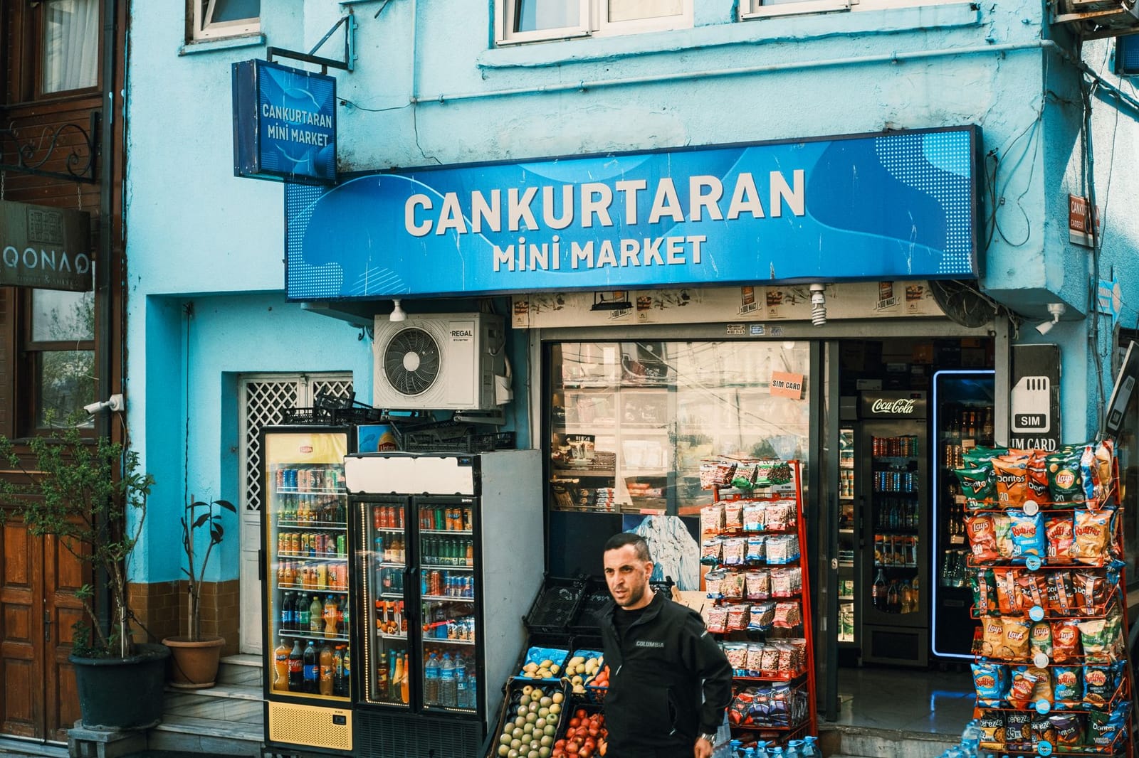
Insider tip: Keep at least 150 TL loaded on your transport card before heading down to the seawall. The validation totems at Cankurtaran Station do not accept cash, and the lone top-up machine on the platform frequently refuses uncreased bank notes when the coastal humidity rises.
Timing along the Marmara South Coast walk depends on daily traffic flows. Kennedy Caddesi runs parallel to the outer masonry walls and carries heavy vehicle flows toward the Eurasia Tunnel, generating substantial noise and exhaust between 16:30 and 19:30 on weekdays. Starting between 08:30 and 10:00 ensures cool maritime air and open pathways before commuter traffic peaks. When crossing the road to reach the water at Ahırkapı, use the lit subterranean underpass 120 meters east of the historic lighthouse rather than attempting to cross the six-lane roadway on foot.
Finishing the route at Sarayburnu and onward transit
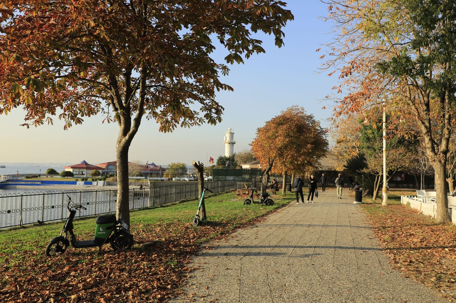
As the cobbled lane slopes down past the southern bastion of the outer palace walls, the street opens onto the open expanse of the Marmara Sea directly below the tree line of the Topkapı outer gardens. Skip the detour onto the concrete shoreline strip across Kennedy Caddesi; the constant roar of coastal road traffic breaks the quiet pace of the alleys you just walked through. Instead, turn left along the base of the Ottoman perimeter wall toward Sarayburnu and skirt the lower edge of the park grounds on the stone pedestrian path.
Insider tip: For years, I made the mistake of slogging back uphill toward the Hagia Sophia square to catch the tram, fighting against oncoming tour groups and private transfer vans. Staying on the flat perimeter at sea level saved my knees and cut fifteen minutes off my transit time.
Following that flat waterfront route around the promontory brings you to Sirkeci in twelve minutes. From the station plaza, you can head directly underground to the Marmaray platforms for a four-minute ride beneath the Bosphorus to Üsküdar, which provides direct access to examine Atik Valide Mosque architecture and 2026 visiting tips for the Üsküdar complex, or tap in at the ground-level T1 tram stop to cross the Galata Bridge into Karaköy without retracing a single step through Sultanahmet.